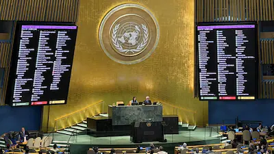
United Nations: The United Nations General Assembly has adopted a resolution supporting the use of the Equal Earth cartographic projection, a world map designed to provide a more accurate representation of the relative sizes of continents.
The resolution received support from 164 countries, while the United States voted against it and six countries abstained. The Equal Earth projection addresses longstanding concerns over the traditional Mercator projection, which was developed by Flemish cartographer Gerardus Mercator in 1569 primarily for maritime navigation.
Africa and Other Equatorial Regions Better Represented
Unlike the Mercator projection, which significantly enlarges landmasses at higher latitudes, the Equal Earth projection preserves the relative surface areas of continents more accurately. As a result, Africas substantially appear larger, while Europe and North America appear smaller in comparison. South America and other regions closer to the Equator also receive a more proportionate visual representation.
The UN resolution states that the new projection would improve “the accuracy of the cartographic representation of the world” and encourages member states to consider using it instead of the traditional Mercator map. Togo’s Foreign Minister Robert Dussey, whose country sponsored the initiative, said maps play an important role in education and in shaping people’s understanding of the world.

United States Opposes Resolution
The United States opposed the resolution, criticizing the General Assembly for focusing on cartographic issues rather than what it described as more pressing global challenges.
US representative Yaryna Ferencevych argued that such initiatives contribute to concerns about the credibility and priorities of the institution.
France Supports New Projection
France, which co-sponsored the resolution, also announced that it would move away from the Mercator projection.
French Foreign Minister Jean-Noel Barrot pointed out that the traditional map gives disproportionate visual prominence to countries such as the United States, Russia and China, while making Africa and parts of Latin America and Southeast Asia appear comparatively smaller.
He emphasized that changing a map does not change geographical reality, but correcting inaccurate visual representations can contribute to a more balanced understanding of the world.
The debate over the map comes amid broader international discussions about historical representation, education, cultural perceptions and relations between Africa and Western countries.